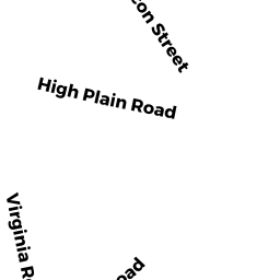
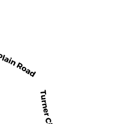
26 HIGH PLAIN RD
Owner Information
MARTIN BLAKE A
26 HIGH PLAIN RD
ANDOVER, MA 01810


Property Details
26 HIGH PLAIN RD is classified as a Single Family Residential (Cape).
The primary structure on this property was built in 1941. There are 2,719ft2 of built area within this property. There is 2,719ft2 of residential/living space within this property. This property is listed as having 8 rooms.
26 HIGH PLAIN RD is valued at $586,700. The land is valued at $328,900 and the structures are valued at $257,300. There is an additional valuation of $500 on this property.
This property is in Zone SRB. Confirm with local Zoning Board authorities to ensure there are no overlays or other easements on this property.
26 HIGH PLAIN RD was last sold on Tuesday, July 7, 1992 for $204,000.
Assessment data from fiscal year 2021.
Flood Data
According to the FEMA National Flood Hazard Layer, this property does not appear to be in a flood zone. It may also be in an area not yet reviewed. Nonetheless, confirm this information prior to taking any action.
To view the flood hazards around this property, create a FEMA "Firmette" Map of the area around 26 HIGH PLAIN RD.
Broadband Internet Providers
| Provider | Type | Bandwidth (mbps) | |
|---|---|---|---|
| HughesNet | Satellite | 25 | 3 |
| GCI Communication Corp. | Satellite | 0 | 0 |
| T-Mobile | Fixed Wireless | 25 | 3 |
| Comcast | Cable | 1000 | 35 |
| Crown Castle Fiber | Fiber | 0 | 0 |
| Viasat Inc | Satellite | 100 | 3 |
| Verizon New England Inc. | Fiber | 940 | 880 |
| VSAT Systems, LLC. | Satellite | 2 | 1 |
Broadband service provider data from December 2020.
Adjacent Properties
- 29 WEST PARISH DR
Single Family Residential owned by PATRICK V MULLIGAN AND - 19 WEST PARISH DR
Vacant, Conservation Organizations (Charitable Org.) owned by AVIS - 3 VIRGINIA RD
Single Family Residential owned by BARRON CHARLES S - 1 VIRGINIA RD
Single Family Residential owned by PAULL JAMES B - 32 HIGH PLAIN RD
Single Family Residential owned by GENT JULIAN